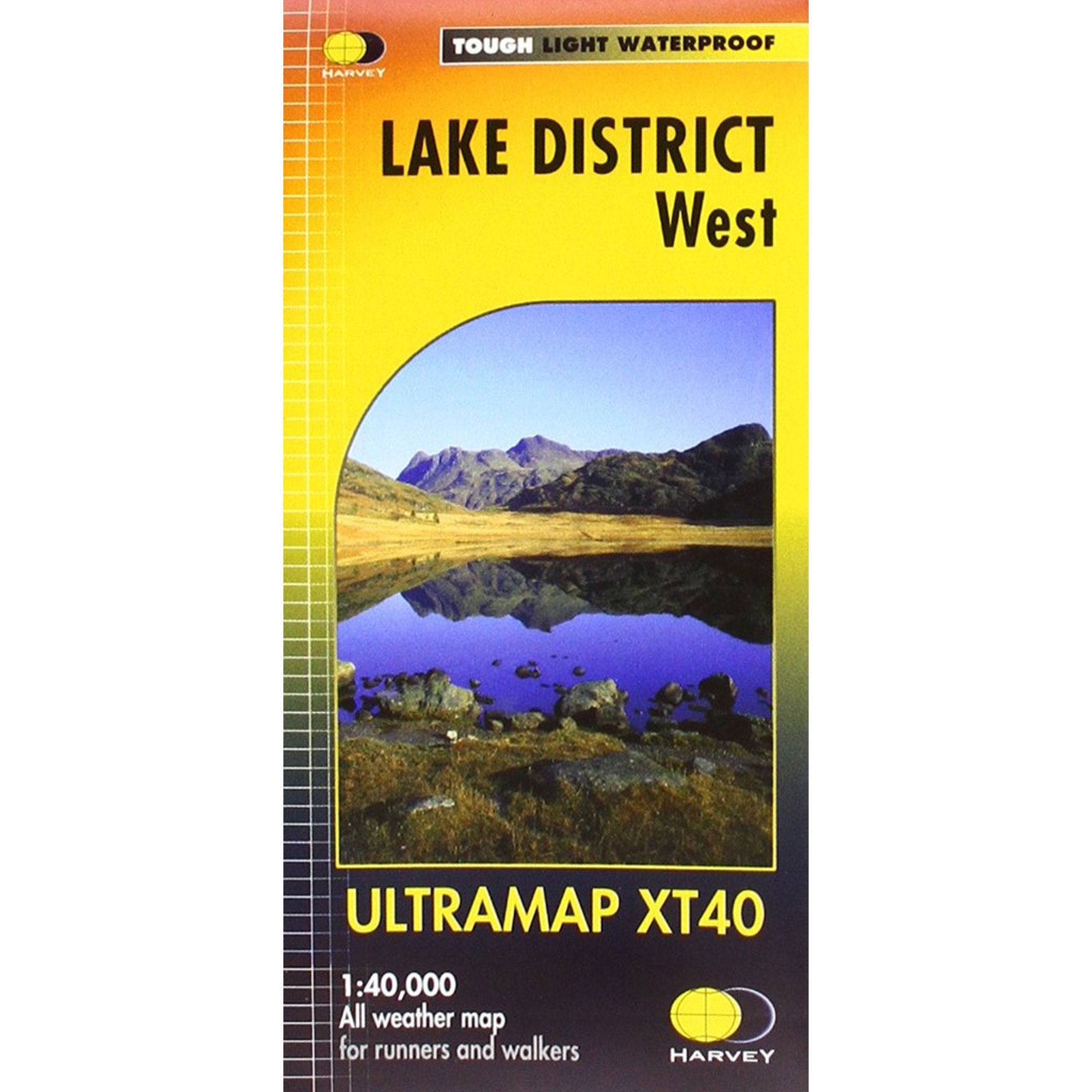
Ultramap XT40 Map: Lake District West
- Regular price
-
£11.50 - Regular price
-
£11.50 - Sale price
-
£11.50
Couldn't load pickup availability
Description
Item Code: MA-280_2312
Covers a large area yet is handily compact. Pocket perfect!
Detailed map for runners and walkers of the western fells of the Lake District National Park at the magic scale of 1:40,000.
Scafell and the Langdale Pikes, and fells west of the Kendal-Keswick road.
Hard Knott and Wrynose Passes. Ennerdale, Wast Water and Coniston Water.
Includes 74 Wainwrights.
Includes Rights of Way
Use without a map case: tough and 100% waterproof
Opens directly to either side of the sheet
DELIVERY & RETURNS
Delivery
Standard Delivery (Orders under £75) - £4.95
Standard Delivery (Orders over £75) - FREE
Delivered with DPD
Orders Delivered within 2-3 working days
Next Day Delivery - £6.95
Order before 2:00pm for Next Working Day Delivery (weekends not included)
Saturday Delivery - £15.95
Delivered with DPD.
Order before 2:00pm on Friday for Saturday Delivery
Highlands & Islands (Orders under £75) - £4.95
Highlands & Islands (Orders over £75) - FREE
Delivered with Royal Mail
Order before 2:00pm for same day shipping
2-3 working days
Returns
Policy:
If you're not 100% satisfied with your purchase we'll be more than happy to help you with an exchange or refund. All items purchased online are eligible for a refund or exchange provided that they are returned to us within 30 days in their original condition with all tags attached.
How to Return:
We offer a free returns service with Royal Mail. However you may return your order to us in person at our Ambleside store or via a different courier at your own cost. Please note that if you choose to use a different courier we will not cover the cost of the return.
Further details can be found on our Returns page.
Return Address:
Epicentre, Compston Rd, Ambleside, LA22 9DR


Ultramap XT40 Map: Lake District West
- Regular price
-
£11.50 - Regular price
-
£11.50 - Sale price
-
£11.50


